


Monitoring marine ecosystems from space with high-resolution hyperspectral imaging
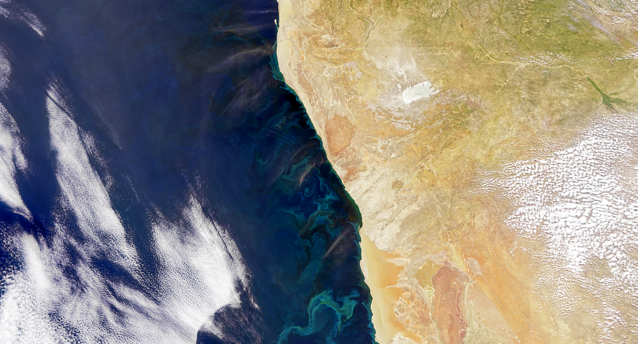
In April 2025, NASA’s Plankton, Aerosol, Cloud, ocean Ecosystem (PACE) satellite captured detailed imagery off the northwest coast of Africa, revealing interactions between Saharan dust transport, ocean circulation, and phytoplankton blooms. This observation underscores the capability of space-based remote sensing to enhance our understanding of marine ecosystems and climate dynamics.
Launched on February 8, 2024, PACE is equipped with the Ocean Color Instrument (OCI), a hyperspectral sensor, and two polarimeters: SPEXone and HARP2. These instruments enable the detection of atmospheric aerosols, clouds, and ocean color with high precision, facilitating studies on biogeochemical cycles, carbon fluxes, and the impacts of climate change on marine ecosystems.
Recent images reveal that Saharan dust storms transport mineral-rich particles over the Atlantic Ocean, which can stimulate phytoplankton blooms by supplying essential nutrients like iron. These blooms play a crucial role in carbon capture and form the base of the oceanic food web, influencing global climate models and informing sustainable ocean management strategies.
The PACE mission exemplifies the power of satellite-based Earth observation in providing high-resolution, interdisciplinary environmental data essential for marine resilience and climate response strategies.
Recent Advances in Remote Sensing and Remote Sensing Communications invite submissions on topics including:
- Ocean color remote sensing
- Hyperspectral data analysis
- Satellite monitoring of marine ecosystems
- Atmosphere-ocean interactions
- Climate impacts on phytoplankton and carbon cycles
Submit your manuscript here to contribute to advancing global remote sensing research.
References
NASA Science. “April 2025 Image: Air and Ocean Views.”
NASA Science. “NASA’s PACE to Investigate Oceans, Atmospheres in Changing Climate.”
NASA Earth Observatory. “Little Things Make a Big Difference.”