Blog

Earth Surface Temperature Trends from MODIS LST and SST Products (2003–2023): A Comparison of versions 6 and 6.1

1. Introduction Long-term trends of surface temperature serve as a key indicator of climate change. Admittedly, Thermal infrared (TIR) remote sensing data has been widely used for earth observation. Among them, MODIS and Landsat are the most popular TIR datasets (Reiners et al., 2023), however, focused on different application scales. MODIS is primarily used for
Read More

Use of Sentinel-1 to monitor the evolution of rice production in the Vietnam Mekong Delta over the last decade

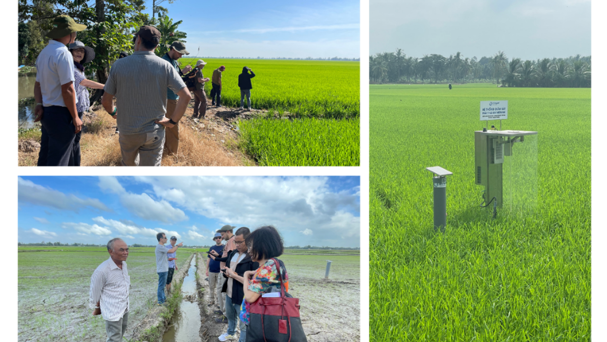
1.       Introduction  The Vietnam Mekong Delta (VMD), frequently referred to as Vietnam’s “rice bowl”, accounts for approximately 50% of Vietnam’s rice output and 90-95% of its exports (K.Linh, 2025). This low-lying region covers 40,500 km² and is inhabited by 21.5 million individuals, supporting a densely agricultural landscape mostly centered on rice agriculture, which underpins both

Read More

Assessing the Potential of Land Surface Emissivity for Land Cover Classification

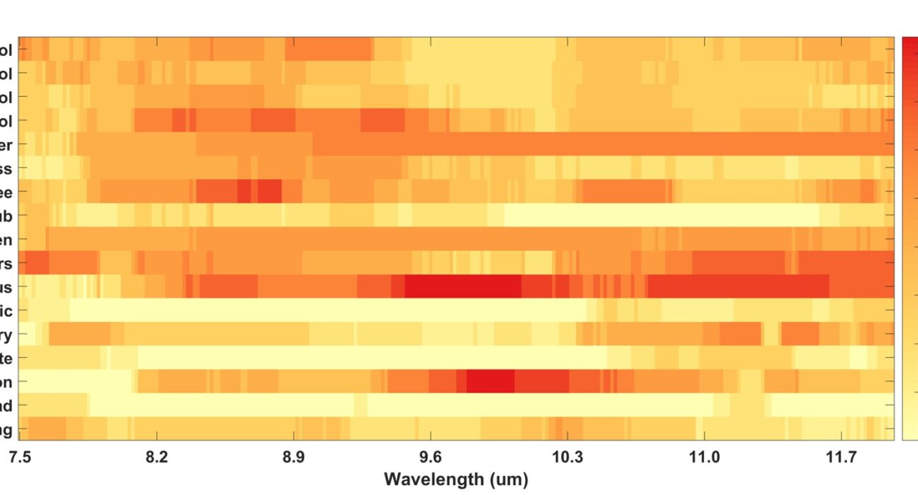
1. Introduction Monitoring and classifying land cover and its dynamic changes are the foundation of many fields, such as environmental sciences, resource management, and sustainable development (Andrew et al. 2014; Meng et al. 2022; Radeloff et al. 2024). Traditional remote sensing methods for land cover classification mainly rely on the reflectance properties of surface materials.

Read More

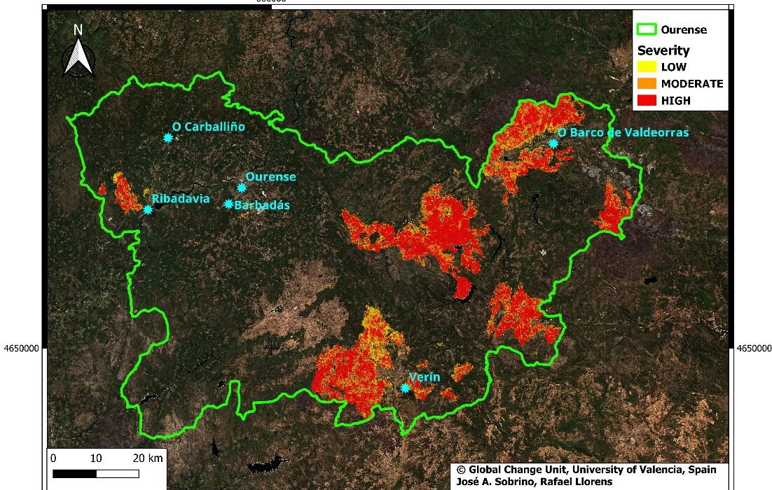
Multitemporal assessment of burned areas and fire severity in Ourense (August 2025) using Sentinel-2 imagery

1. Introduction Over the last decades, forest fires have become a major environmental problem due to their ecological, social, and economic impacts, with Spain being particularly vulnerable under climate change (Sobrino et al., 2019; Pausas and Keeley, 2019).). Beyond fire size, fire severity is a key parameter, reflecting the intensity of ecosystem damage (Keeley, 2009).

Read More

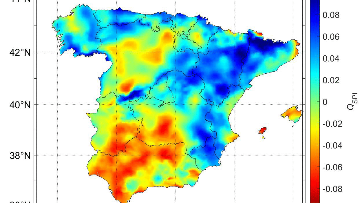
Tracking environmental response of Spanish productivity over 19 years

1. Introduction A full description of the carbon cycle requires detailed information on spatiotemporal patterns of surface–atmosphere carbon fluxes. One of the main carbon fluxes characterizing terrestrial ecosystems and biodiversity is the gross primary production (GPP), i.e., the amount of carbon absorbed by vegetation to perform photosynthesis, since it establishes the main carbon and energy

Read More

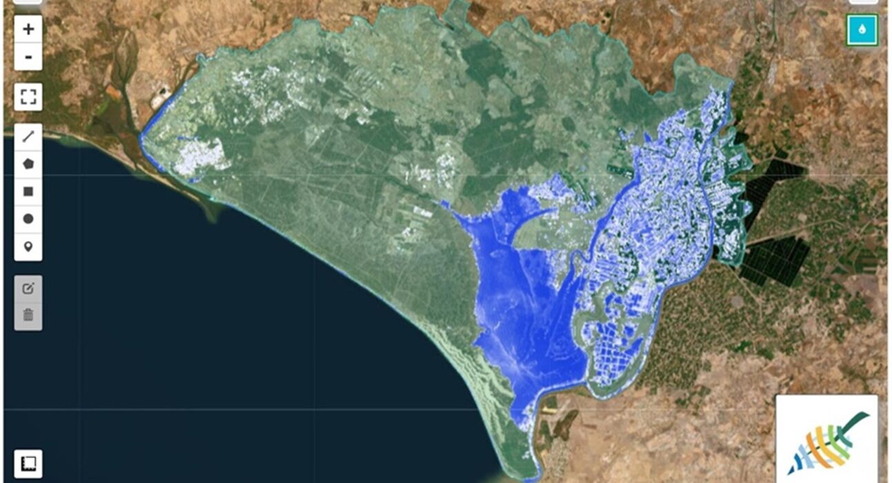
In-situ validation of Land Surface Phenology, Land Surface Temperature and Surface Water derived from Earth Observation products: Doñana protected area as a potential cal/val supersite

1.       Introduction  Available remote sensing spatially explicit data products provided by the different Earth Observation (EO) programs such as Copernicus or GEO-GEOSS are definitely contributing to enhance and complement the long-term in situ datasets for the monitoring of ecosystem processes and trends subjected to global change. However, most of these products, generated at global or

Read More

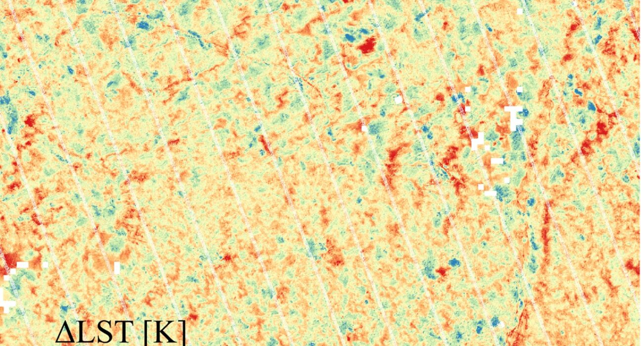
Identification, Characterization and Correction of Directional Anisotropy in High-Resolution Land Surface Temperature through a Comparison of Sharpened Sentinel-3 with ECOSTRESS Data

1.       Introduction Thermal infrared (TIR) remote sensing has emerged as a powerful tool for generating time series of land surface temperature (LST) data at both global and local scales. TIR sensors measure the radiation emitted by the Earth’s surface in the 8–12μm range, which is directly related to the surface temperature. This capability is valuable

Read More

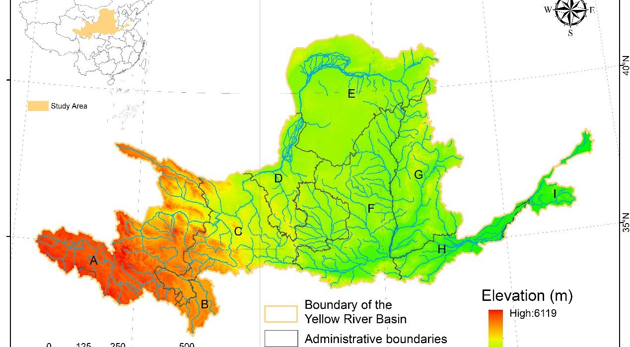
Terrestrial Ecosystem Integrity and Change Trends in the Yellow River Basin

1.       Introduction Anthropogenic disturbances driven by population growth and technological advancements have profoundly altered natural ecosystems, leading to persistent modifications in their structural and functional attributes (Birch, 2014). Over the past few decades, increasing recognition of these transformations has fostered efforts to protect, manage, and restore ecosystems. Within the framework of integrated ecosystem management, the

Read More

Coupling spaceborne Solar-Induced Fluorescence and PRI to explain water stress variability in almond

1.       Introduction Water is essential for agricultural management as it plays a crucial role in promoting plant growth, fruit quality, and crop yield (Fischer, 1981, Hsiao et al., 1976). Efficient irrigation strategies are vital for maximizing water productivity, minimizing yield losses, optimizing irrigation practices, and ensuring sustainable resource management. To achieve these goals, growers require

Read More

Emergency mapping of mud extent in the context of October 29th 2024 flash floods in Valencia

1.       Introduction  Natural events become disasters when they impact people, requiring a swift and coordinated response from multiple organizations. Accurate geospatial information is a keystone, and satellite remote sensing data constitutes one of the most relevant data sources to obtain timely and scalable information. Ideally, an early warning system should be already in place –

Read More
X