Recent Advances in Quantitative Remote Sensing RAQRS VII

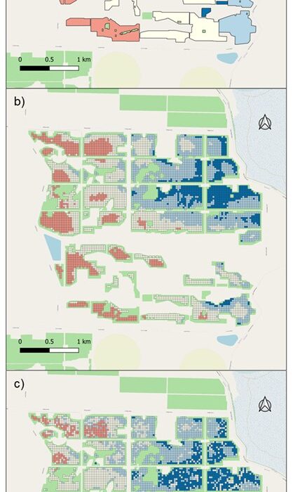
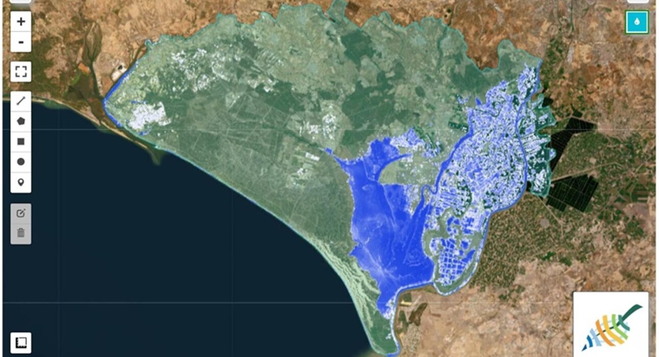
In-situ validation of Land Surface Phenology, Land Surface Temperature and Surface Water derived from Earth Observation products: Doñana protected area as a potential cal/val supersite

1.       Introduction  Available remote sensing spatially explicit data products provided by the different Earth Observation (EO) programs such as Copernicus or GEO-GEOSS are definitely contributing to enhance and complement the long-term in situ datasets for the monitoring of ecosystem processes and trends subjected to global change. However, most of these products, generated at global or
Read More

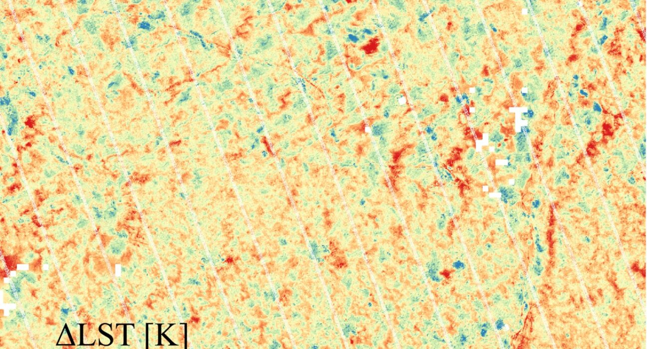
Identification, Characterization and Correction of Directional Anisotropy in High-Resolution Land Surface Temperature through a Comparison of Sharpened Sentinel-3 with ECOSTRESS Data

1.       Introduction Thermal infrared (TIR) remote sensing has emerged as a powerful tool for generating time series of land surface temperature (LST) data at both global and local scales. TIR sensors measure the radiation emitted by the Earth’s surface in the 8–12μm range, which is directly related to the surface temperature. This capability is valuable

Read More

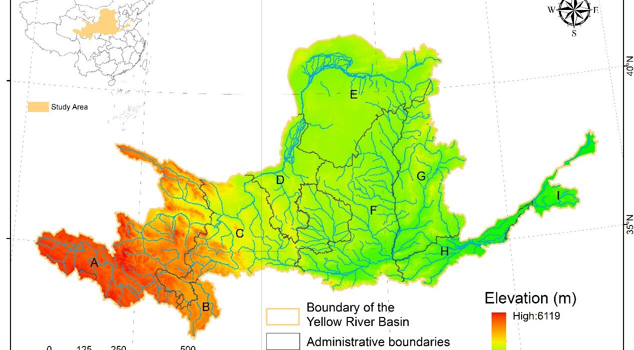
Terrestrial Ecosystem Integrity and Change Trends in the Yellow River Basin

1.       Introduction Anthropogenic disturbances driven by population growth and technological advancements have profoundly altered natural ecosystems, leading to persistent modifications in their structural and functional attributes (Birch, 2014). Over the past few decades, increasing recognition of these transformations has fostered efforts to protect, manage, and restore ecosystems. Within the framework of integrated ecosystem management, the

Read More

Coupling spaceborne Solar-Induced Fluorescence and PRI to explain water stress variability in almond

1.       Introduction Water is essential for agricultural management as it plays a crucial role in promoting plant growth, fruit quality, and crop yield (Fischer, 1981, Hsiao et al., 1976). Efficient irrigation strategies are vital for maximizing water productivity, minimizing yield losses, optimizing irrigation practices, and ensuring sustainable resource management. To achieve these goals, growers require

Read More

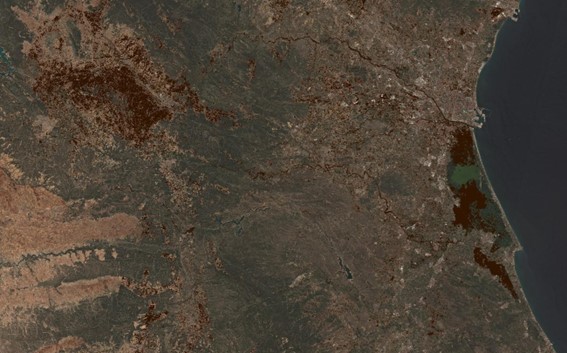
Emergency mapping of mud extent in the context of October 29th 2024 flash floods in Valencia

1.       Introduction  Natural events become disasters when they impact people, requiring a swift and coordinated response from multiple organizations. Accurate geospatial information is a keystone, and satellite remote sensing data constitutes one of the most relevant data sources to obtain timely and scalable information. Ideally, an early warning system should be already in place –

Read More

Monitoring of Light Absorbing Impurities (LAIs) in Snow and Glaciers along the Central Andes

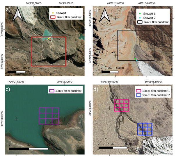
1.       Introduction  Black Carbon (BC) is one of the major pollutants linked to anthropogenic emissions that can contribute to accelerated melting of glaciers and snow due to changing of the surface albedo. It is primarily produced by the incomplete combustion of fossil fuels and biomass and is considered the second-largest contributor to anthropogenic radiative forcing

Read More

Evapotranspiration anomalies over the Pantanal region during the 3 droughts 2018-2020

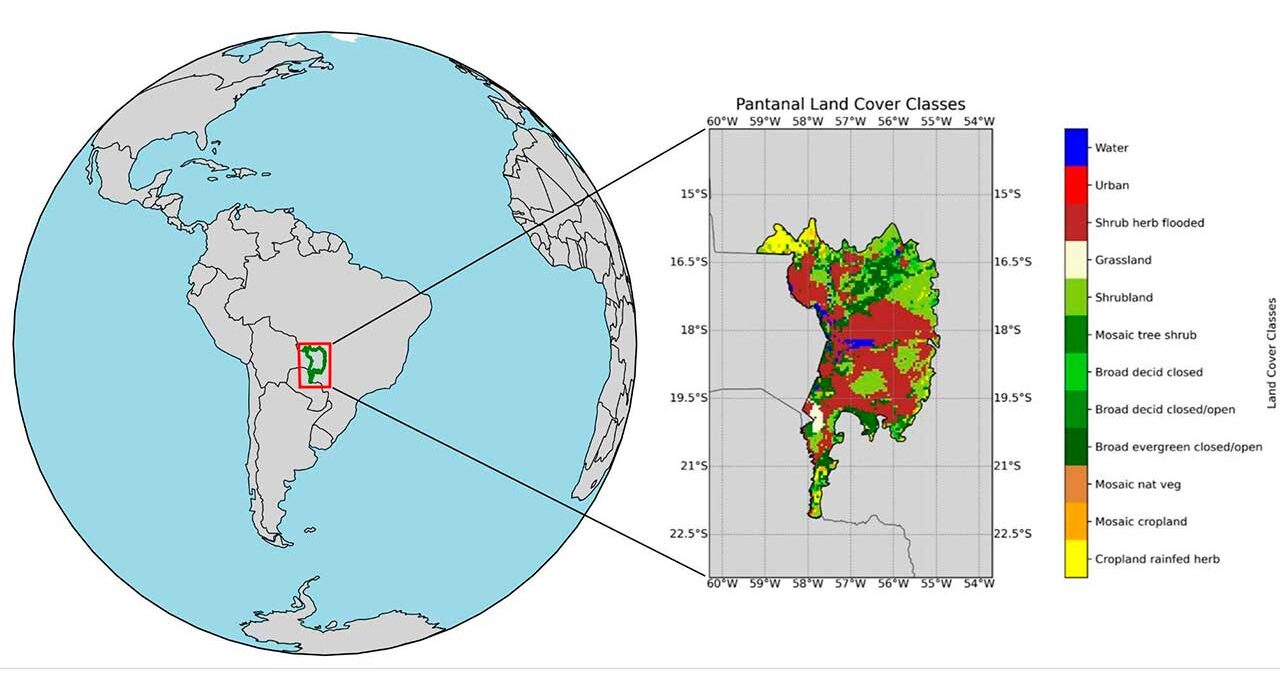
1.       Introduction  The Pantanal, spanning approximately 140,000 square kilometers across Brazil, Bolivia, and Paraguay, is the largest continuous wetland on Earth and one of the most biodiverse regions in the world. Recognized as a UNESCO World Heritage site and Biosphere Reserve, it supports an extraordinary variety of flora and fauna, including several endangered species (Silva

Read More

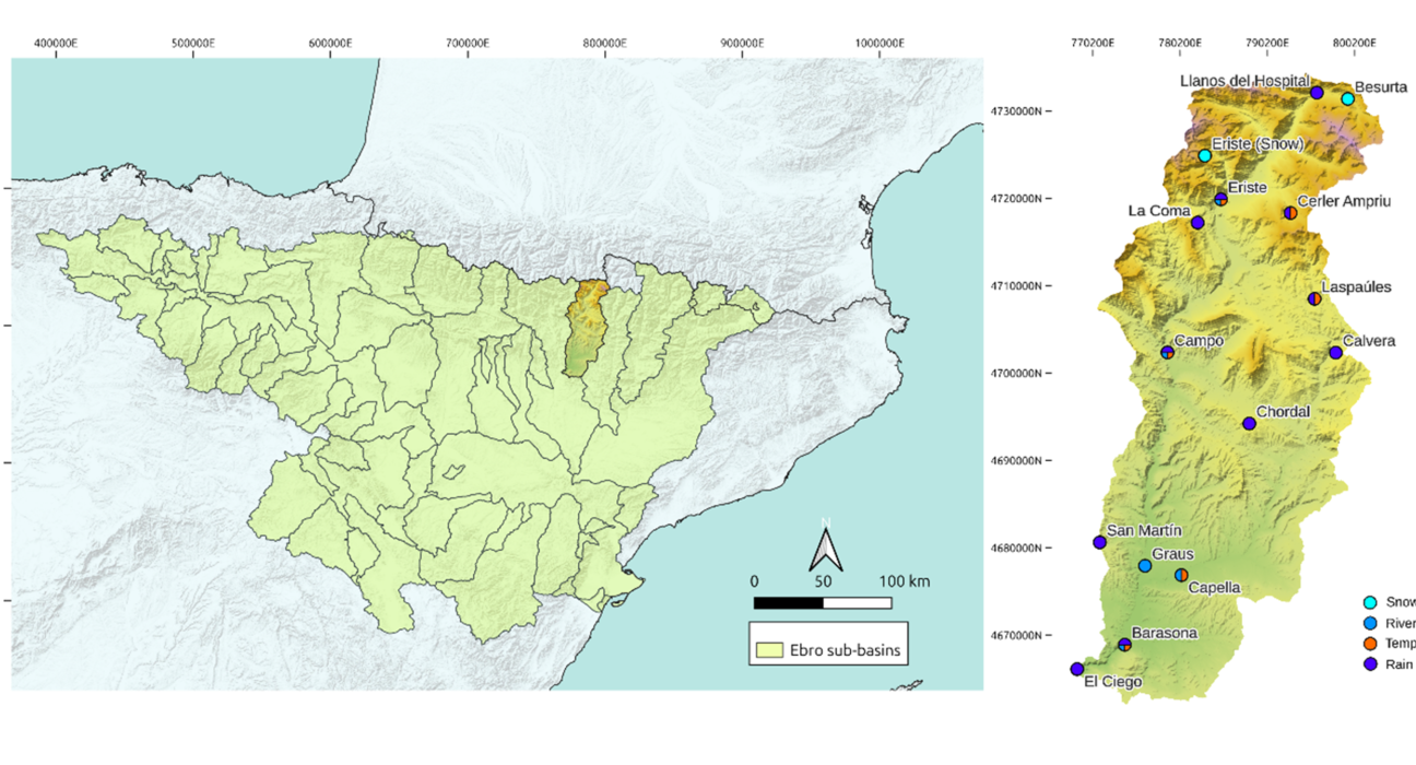
Long-term and short-term estimations of snow water availability from the Barasona reservoir

1. Introduction In semi-arid climates, accumulated water in the form of snow at the mountains is an important asset, especially for agriculture, which in regions like the Mediterranean consumes on average a 69% of all water supply (Malek & Verburg, 2017; FAO, 2016). In fact, the Mediterranean is recognized by several studies as one of the

Read More

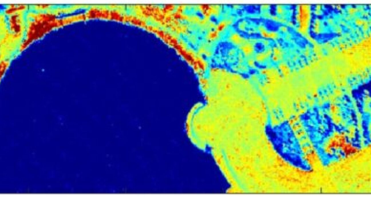
A Statistical Split Window Method Without Atmospheric Profile Input for Temperature and Emissivity Retrieval from Airborne Long-Wavelenght Infrared Hyperspectral Imagery

1. Introduction Land Surface Temperature (LST) and Emissivity (LSE) are critical physical parameters for analyzing and modeling the Earth’s surface (Manolakis et al., 2019). LST and LSE represent the thermal properties and types of land surfaces, respectively, and together they influence the radiance emitted from the ground. Given the limited availability of open-access long-wavelength infrared (LWIR)

Read More
X