


Advancing Urban Climate Understanding through Remote Sensing Techniques
Submission Deadline: April 30, 2026 (50% discount on the APC!).
Topic Editors
James Voogt
Professor in Urban Climatology at Western University, Ontario, Canada.

Wim Timmermans
Researcher in Land-Atmosphere Interaction, Remote Sensing at University of Twente, Enschede, The Netherlands.
About this Special Issue
As a follow up of the 12th International Conference on Urban Climate (ICUC12 co-organized by the International Association for Urban Climate, The American Meteorological Society, Wageningen University, Delft University of Technology, University of Twente, and Eindhoven University) as held 7-11 July 2025 in Rotterdam (The Netherlands), the journal Recent Advances in Remote Sensing (RARS) wil publish a special issue. A 50% discount on publication fees will be offered to workshop participants.
Researchers interested in submitting full-length papers are invited to complete the submission process. All manuscripts will undergo the standard peer-review process in accordance with RARS publication guidelines.
This special issue invites contributions that explore innovative applications of remote sensing techniques to advance our understanding of urban climate dynamics.
Topics of interest include:
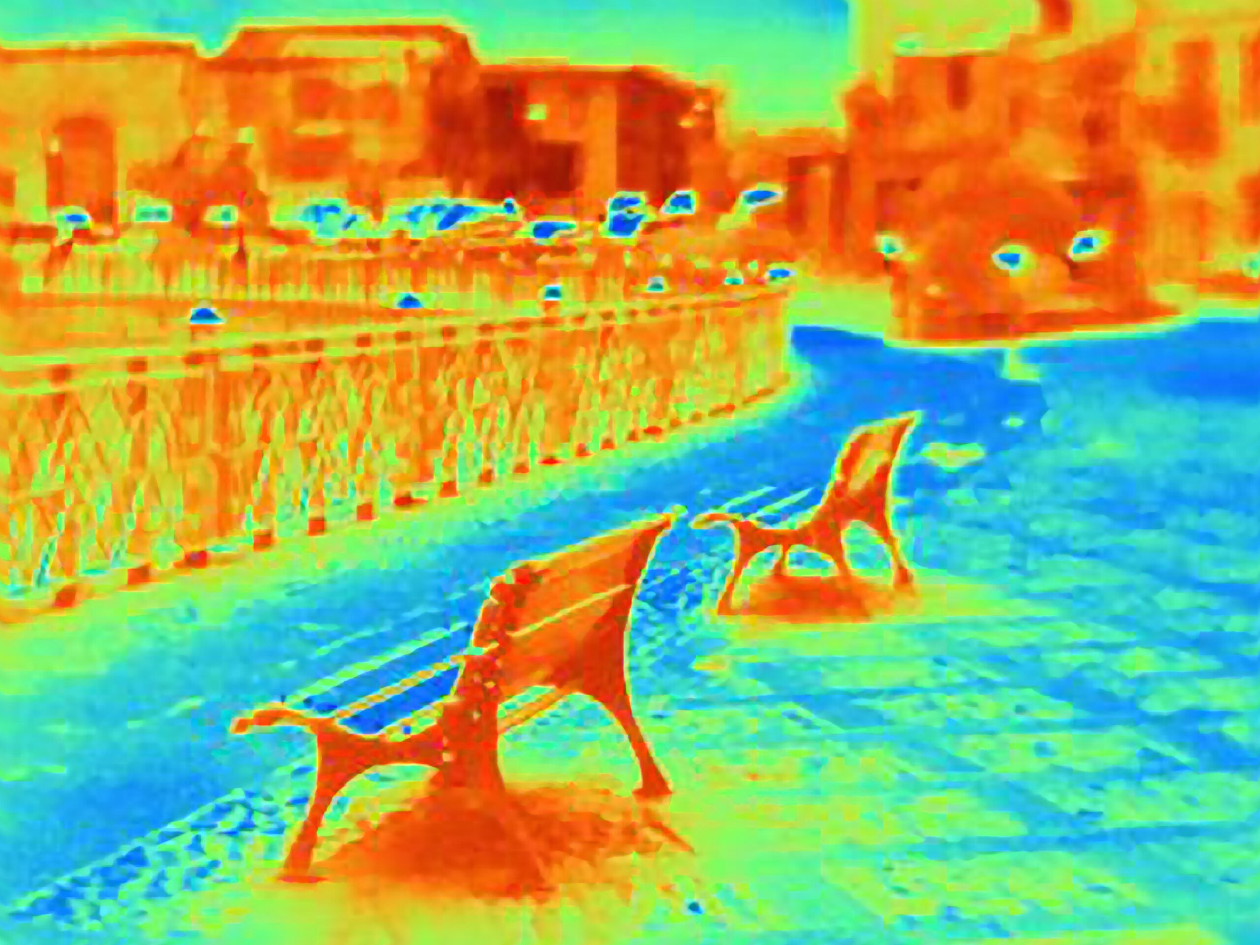
- Satellite-based remote sensing: Utilization of thermal, hyperspectral, and multispectral imagery to assess urban heat island effects, surface energy balance, and air quality and other urban dynamics.
- UAV-based remote sensing: Leveraging unmanned aerial vehicles (UAVs) for fine-scale mapping of urban morphology, vegetation cover, and microclimate variations.
- Aircraft-based remote sensing: Employing research aircraft to collect detailed urban climate data, including atmospheric profiles, boundary layer dynamics, and pollutant concentrations, etc.
- Emerging remote sensing technologies: Exploring the potential of hyperspectral imaging, LiDAR, and synthetic aperture radar (SAR) for enhancing urban climate research.
- Laser point cloud analysis: Utilizing point cloud data derived from LiDAR and other sensors to map urban surfaces, characterize building morphology, and assess urban green infrastructure.
Submit your article
For questions or assistance, please contact:
remotesensing@recentadvancesin.com.