JOURNAL

Recent Advances in Remote Sensing

Recent Advances in Remote Sensing (RARS) is an international, peer-reviewed, open-access journal at the forefront of remote sensing research. RARS traces its origins to the International Symposium on Recent Advances in Quantitative Remote Sensing (RAQRS), which held its inaugural edition in 2002 in Torrent, Valencia, Spain. Over the past 22 years, RAQRS has emerged as a global benchmark in quantitative remote sensing.

Prompt Publication: RARS aims to provide the first decision within approximately 15 days after submission. Open Access: RARS is freely accessible to readers, with article processing charges (APC) paid by authors or their institutions.

ISSN: 3020-6448
Latest Articles

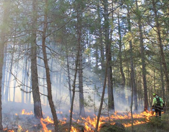
Methodology for burned areas delimitation and fire severity assessment using Sentinel-2 data. A case study

1.     Introduction Over the last decades, forest fires have become an environmental problem with serious ecological, economic and social effects (Pausas & Keeley,.

Read More

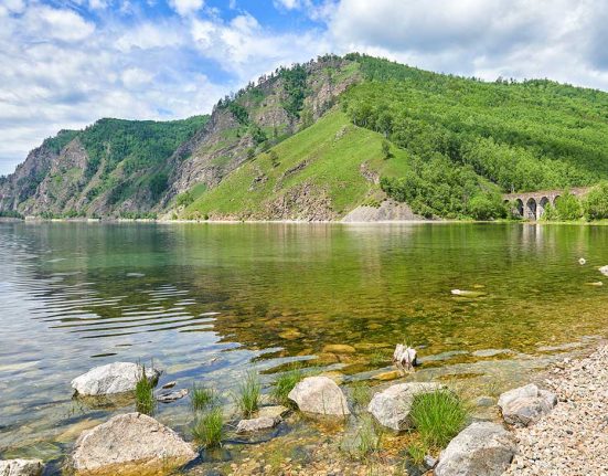
An analysis of the Lake Surface Water Temperature evolution of the world’s largest lakes during

Lake Surface Water Temperature (LSWT) is recognized as an Essential Climate Variable (ECV) by the Global Observing System for Climate (GCOS, 2016), just.

Read More

Research Topic

Advanced remote sensing methods for monitoring and analyzing impacts of natural disasters on land cover and land use

Advanced remote sensing methods for monitoring and analyzing impacts of natural disasters on land cover and land use Manuscript submission.

The journal Recent Advances in Remote Sensing meets the needs of the remote sensing community by disseminating advances in theory, science, applications, and technology related to the remote observation of terrestrial and environmental resources. With a fully interdisciplinary approach, this publication covers both terrestrial, oceanic, and atmospheric sensors. It stands out for its focus on the biophysical and quantitative approaches to remote sensing, both at local and global scales.

Temperature

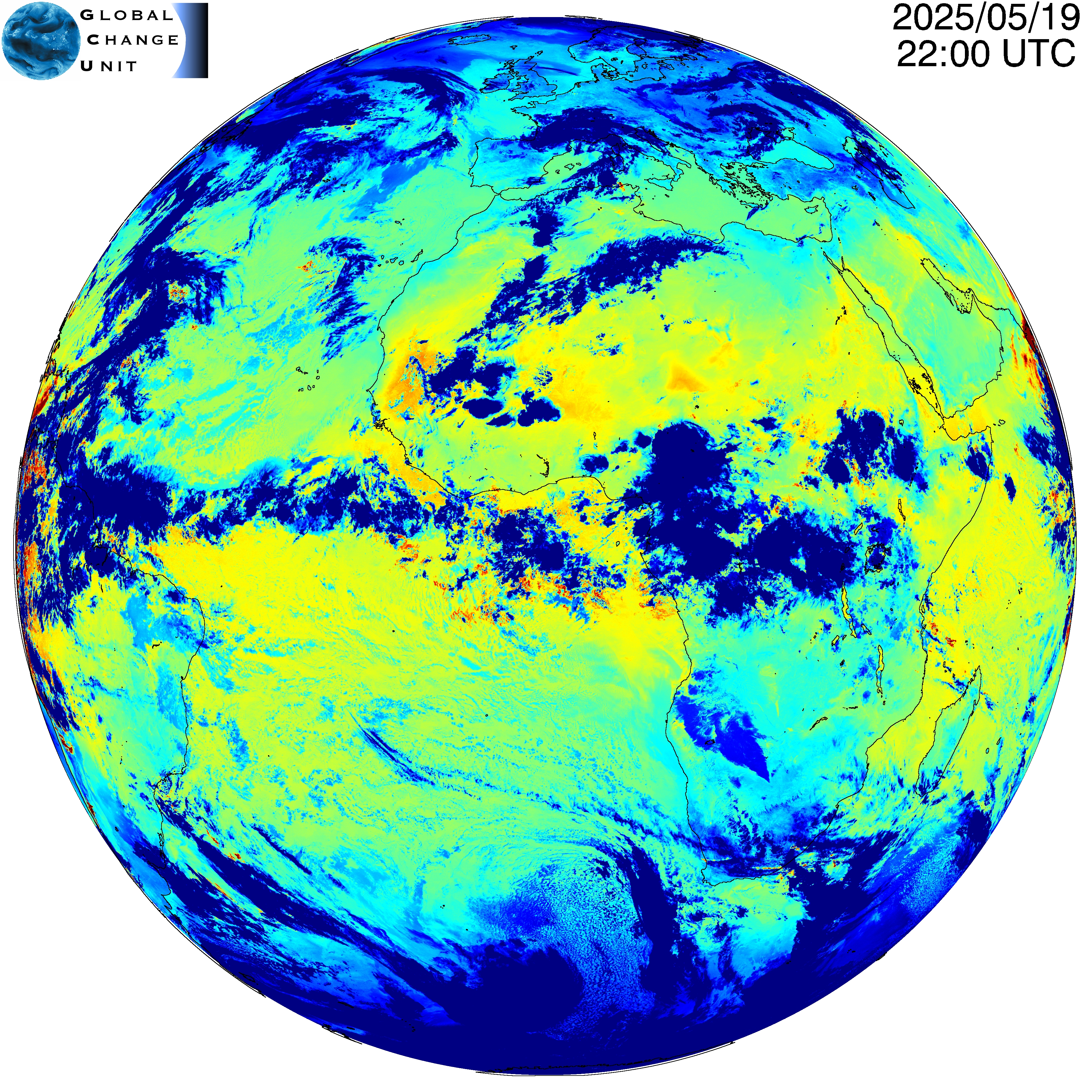
This map shows the most recent values of SLST (Sea and Land Surface Temperature) for MSG/SEVIRI full disk. Low temperatures (blue) are associated to clouds, while high values (red) are observed in deserts.

planet temperature

Quicklook

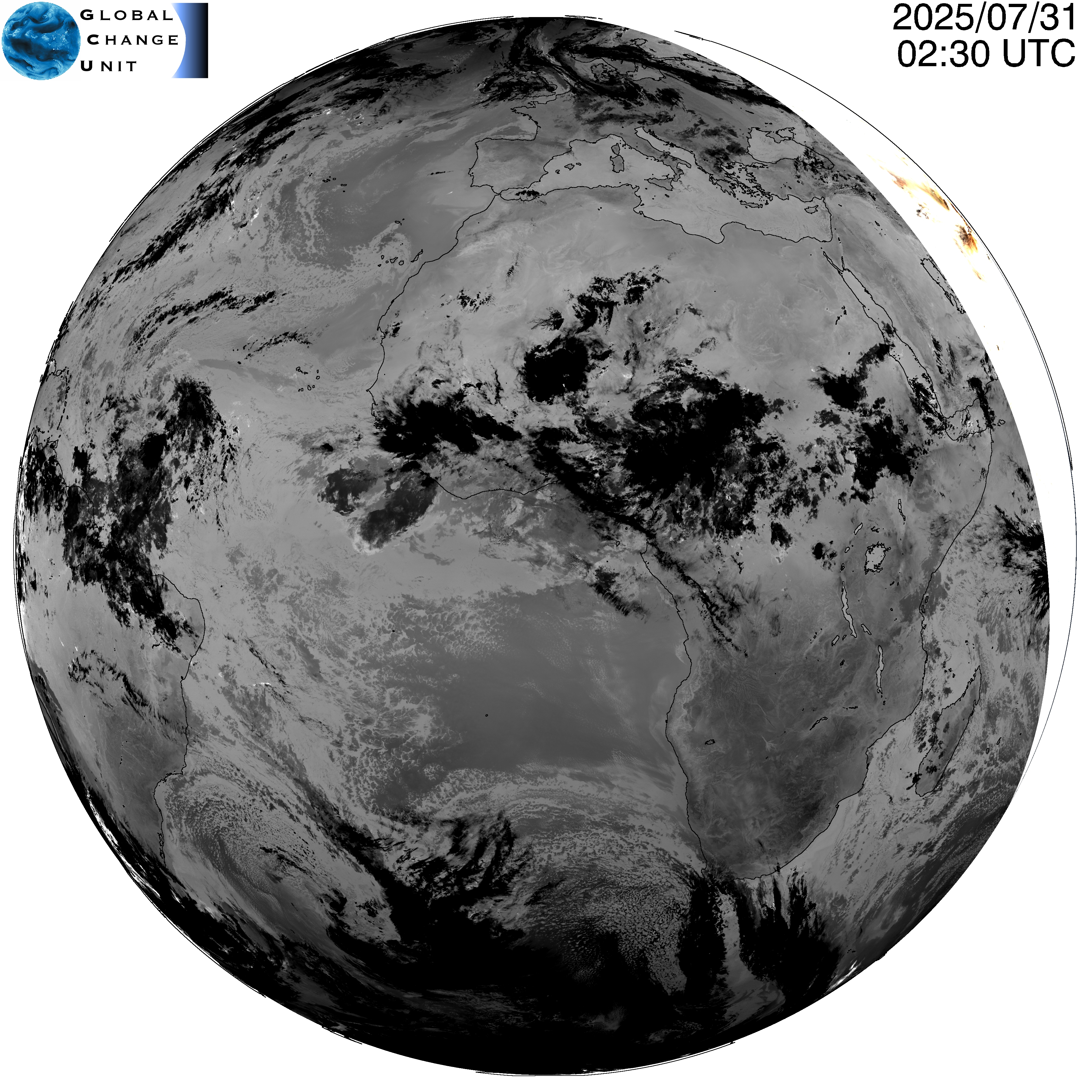
This false colour image has been designed to look similar to what the human eye would see during daytime. Since MSG/SEVIRI instrument does not acquire images in the blue nor green bands, we used the red, near-infrared, and shortwave infrared bands to produce the image above.

planet temperature

Stay ahead of the curve with our newsletter, delivering the latest breakthroughs in Recent Advances straight to your inbox!

Subscription 02
X